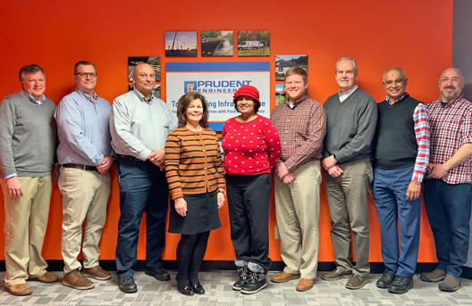
What we do
Prudent Engineering offers high-quality engineering services to government agencies, municipalities, consulting partners, and clients in the private sector.
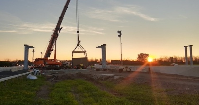
Learn moreBridge & Structural Design
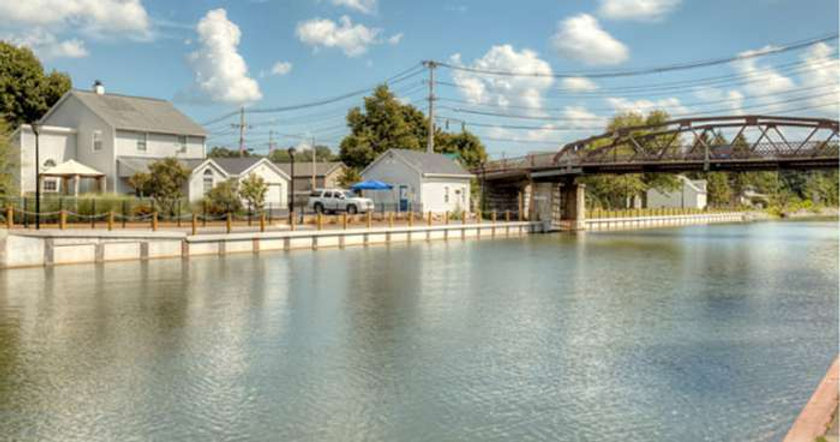
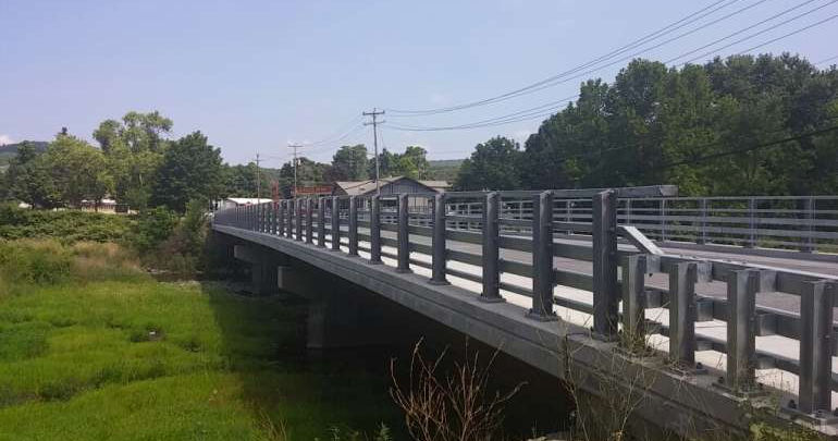
Prudent develops designs for a range of civic structures including: bridge rehabilitations and replacements; bridge sub/superstruc ...
Read moreConstruction Inspection & Management (NY)
Prudent’s construction professionals provide clients with cost-effective solutions to meet project needs by following rigorou ...
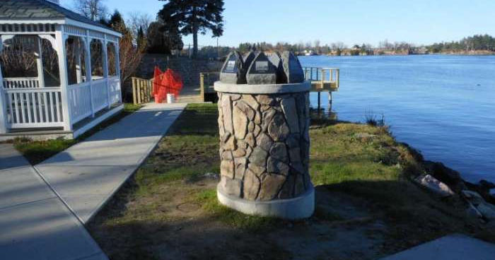
Read moreCivil Site Design
From stormwater management to permit procurement, and design development, to construction and project completion, Prudent’s c ...
Read moreBridge & Structural Condition Inspection
Implementing nondestructive examination techniques, such as visual inspections, detailed surveys, and underwater data collectio ...
Read moreLand Surveying
Prudent’s licensed surveyors deliver highly accurate mapping products and survey services for public- and private-sector clie ...
Read moreCI (PA)
Prudent’s construction professionals provide clients with cost-effective solutions to meet project needs by following rigorou ...
Read moreHydrographic Services
Prudent’s Hydrography Department is equipped with advanced underwater surveying technologies that provide hydrographic survey ...
Read moreHighway Design
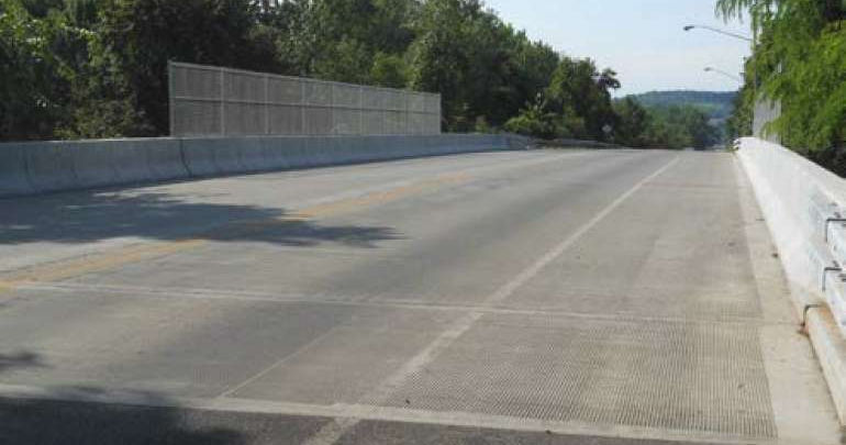
From rural roads to major state highways, pedestrians, bikers, motorists, and commercial truck operators depend on the safety o ...
Read moreVertical Construction Inspection & Management
Prudent’s vertical construction professionals provide clients with cost-effective solutions to meet project needs by followin ...
Read more
Design - Build Services
At Prudent Engineering, our design - build process integrates creativity, expertise, and efficient project management to deliver e ...
Read moreFeatured
We are proud of every project we embark on, as they showcase the varied skills and knowledge
our team of professionals bring to the table. We engage with the communities we live and work in.
Transforming our infrastructure with the future in mind.
Prudent
Keys to Success
Responsive
Prudent reacts quickly and positively to offer strategic design solutions that will impact our community in the best ways possible.
Innovative
Prudent employs the industry's most cutting-edge technologies, advanced methodology, and creative processes.
Diversified
Our teams embrace new ideas with the common goal of becoming better designers, surveyors, and members of our communities.
Respected
Our dedication to the communities in which we work is our driving force. We treasure our relationships and work tirelessly to build trust both in the office and the field.
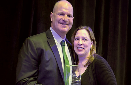
What our clients are saying
We provide quality, cost-effective engineering services to government, municipal, consultant partners, and private-sector clients.
"It never ceases to amaze me how complex these seemingly simple roadway rehabilitation projects really are when you get into all the necessary details. Sometimes they seem more complex than the reconstruction projects.
Thank-you again and NICE JOB ALL"
Northeast Infrastructure Practice Leader - Highway, BERGMANN
"The Prudent Team has been really great to work with!"
New York State Parks, Recreation & Historic Preservation Hudson Valley District